Thesis/Dissertation: Jan Dolejška: 3D modeling and visualization of defunct buildings and sites
Bachelor's thesis
3D modeling and visualization of defunct buildings and sites
3D modelování a vizualizace zaniklých budov a areálů
Abstract
Rekonstrukce zaniklých budov digitální formou představuje důležitý přístup k uchování a prezentaci kulturního dědictví, které se nedochovalo v hmotné podobě. Téma je relevantní z hlediska vyjádření historického výzkumu a urbanistické dokumentace, pro uchování a znázornění bývalé městské struktury, které lze porovnat s tou současnou a budovat na tom další hlubší šetření, nebo výzkum. Modelování zaniklých …more
Abstract
The digital reconstruction of vanished buildings represents an important approach to preserving and presenting cultural heritage that has not survived in physical form. The topic is relevant in terms of expressing historical research and urban documentation, as well as for preserving and illustrating the former urban structure, which can be compared with the current one and serve as a foundation for …more
Thesis description
Pro naplnění hlavního cíle bakalářské práce postupujte přes následující dílčí cíle:
- rešerše aktuálních přístupů ke 3D modelování historického stavu krajiny včetně zaniklých stavebních objektů či areálů,
- analýza dostupných datových zdrojů použitelných pro tvorbu 3D modelů rekonstruujících zaniklé stavební objekty,
- tvorba vlastních rekonstrukčních 3D modelů vybraných stavebních objektů,
- návrh vhodných způsobů prezentace vytvořených 3D modelů uživatelům, včetně definování jejich požadavků a případné optimalizace modelů,
- diskuze zjištěných poznatků a závěr.
- CAJTHMAL, J., KRATOCHVÍLOVÁ, D., JANATA, T. (2019): 3D Model of Historical Vltava River Valley: Combination of Sources. Proceedings of the International Cartographic Association, 29th International Cartographic Conference (ICC 2019), Tokyo, Japan, s. 1–5.
- HÁJEK, P., a kol. (2015): 3D Cartography as a Platform for Remindering Important Historical Events: The Example of the Terezín Memorial. Brus J., Vondráková, A., Voženílek, V.: Modern Trends in Cartography. Netherlands, Springer International Publishing. s. 425-437. ISBN: 978-3-319-07925-7.
- LONGLEY, P. A., a kol. (2001): Geographic Information Systems and Science. 1. vydání, New York, USA, John Wiley and Sons. 454 s. ISBN: 0-471-89275-0.
- POPELKA, S., DĚDKOVÁ, P. (2014): Extinct Village 3D Visualization and its Evaluation with Eye-Movement Recording. Murgante B., a kol.: ICCSA 2014 – Lecture Notes in Computer Science Volume 8579 Springer International Publishing, s. 786–795. ISBN: 978-3-319-09143-3.
- STACHOŇ, Z., KUBÍČEK, P., HERMAN, L. (2020): Virtual and Immersive Environments. Wilson, J. P.: The Geographic Information Science & Technology Body of Knowledge. Ithaca, New York, UCGIS. https://gistbok-topics.ucgis.org/CV-05-016
19/5/2025 11:23, RNDr. Lukáš Herman, Ph.D., UČO 222752
 Czech
Czech
Theses on a related topic
List of theses with an identical keyword.
-
3D modeling and visualization of historical sites
Bc. Vojtěch Dofek -
Reconstruction and 3D visualization of the historic state of the landscape
Mgr. Mária Kmošková -
World of Qwinchi
Bc. Varvara Lenshina -
Comparison of modeling in real and imaginative 3D space
Mgr. David Medek, Ph.D. -
Creation of a School Building Model as a Tool for Developing Technical and Digital Competencies of Lower Secondary School Students
Mgr. Ondřej Baláč -
The use of 3D printing in technical education in primary school
Mgr. Petr Horáček -
Facilitating and Evaluating User Behavior In Virtual 3D Environments
Mgr. et Mgr. Pavel Ugwitz, Ph.D. -
Production and aesthetic aspects of 3D modeling in the context of community creation from the perspective of independent 3D artists
Bc. Eliška Pantůčková
Folders
Files
-
Přidání souboru
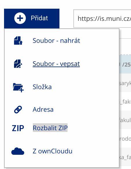 Soubor nebo složku lze nahrát pomocí tlačítka Přidat.
 -
Další operace se soubory
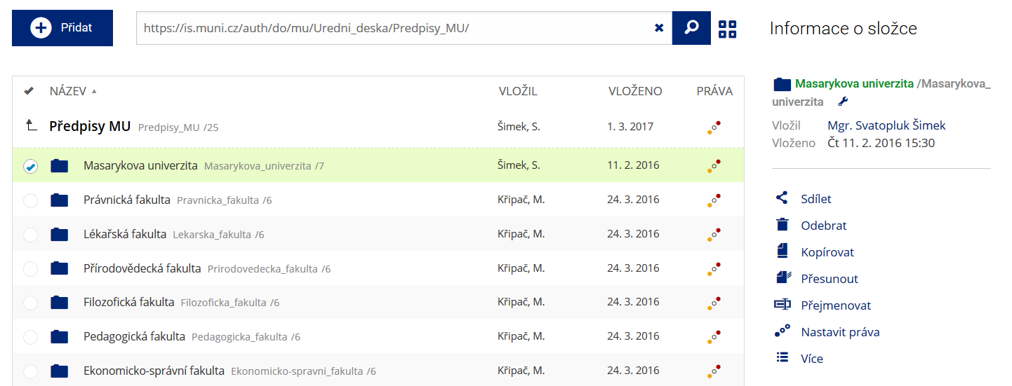 Podrobnosti lze zjistit označením příslušného řádku.
 -
Pohled pro experty
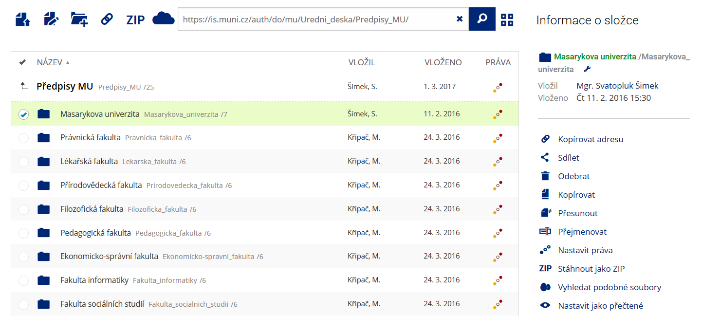 Pro častou práci je možné zvolit režim Více možností.
 -
Vyhledávání souborů
 Vyhledávaný výraz můžete zadat přímo do adresního řádku.
 -
Rychlý přístup k souborům
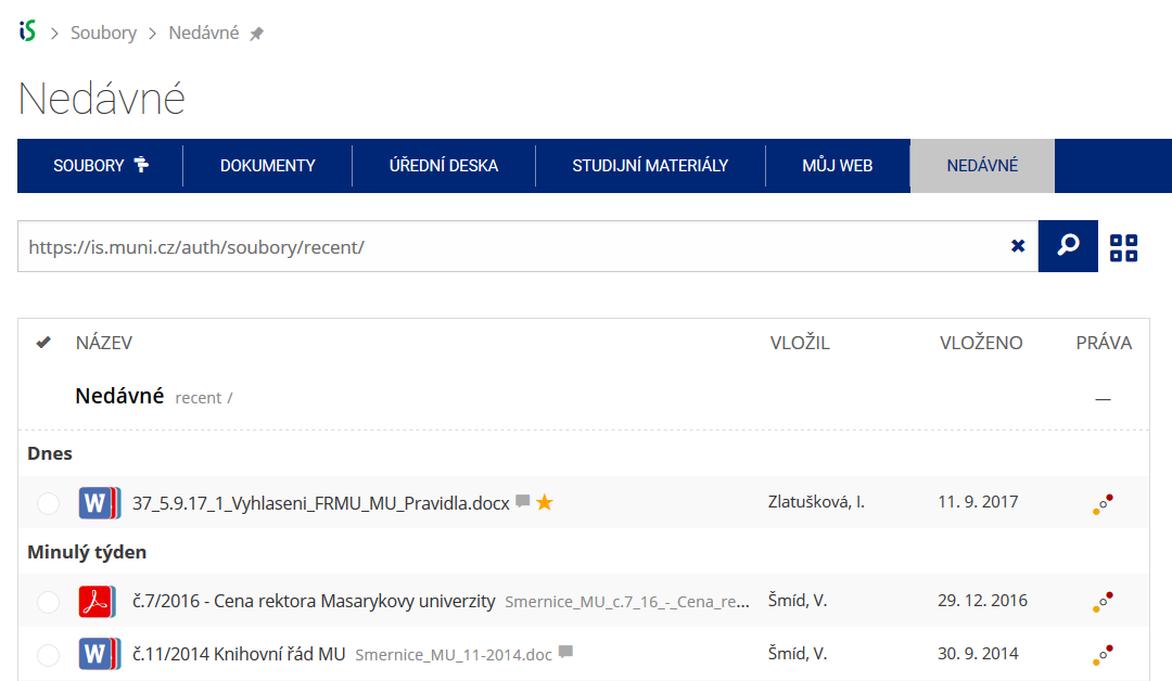 Pomocí funkce Nedávné je možné se rychle vrátit k právě prohlíženým souborům. Oblíbené soubory je také možné označit Hvězdičkou.