Thesis/Dissertation: Kristýna Vilímková: Monitoring land cover changes by Remote Sensing in region of Orlic Mountain.
Bachelor's thesis
Monitoring land cover changes by Remote Sensing in region of Orlic Mountain.
Sledování změn porostu CHKO Orlické hory prostředky DPZ
Abstract
Tato bakalářská práce se věnuje změnám porostu v CHKO Orlické hory mezi lety 1984 a 2017. Ze snímků z družic Landsat byly vytvořeny mapové kompozice základních druhů povrchů za použití řízené klasifikace, které byly následně porovnány a vznikla tak mapa časových změn. Hodnoceny byly změny v rozložení lesů a zároveň určeny plochy, které jsou stabilní a v čase se nemění. Zvláštní zřetel byl přitom kladen …more
Abstract
This bachelor thesis focuses on the changes of land cover in region of Orlic Mountain between the years 1984 and 2017. Using images from Landsat satellites, the map composition of the basic surfaces was created by supervised classification. These maps were compared and the map of changes during the time was created. Changes of forest layout were rated and areas which are stable and doesn’t change in …more
Thesis description
Doporučená literatura:
Mather P, Koch M. Computer Processing Of Remotely-Sensed Images : An Introduction [e-book]. Chichester, West Sussex, UK: Wiley; 2011
Darius, P, & Justin, M: Developments in Landsat Land Cover Classification Methods: A Review, Remote Sensing, Vol 9, Iss 9, P 967 (2017), 9, p. 967, Directory of Open Access Journals
Toderas, T., Cracea, T., & Negoescu, A. USING LANDSAT MULTISPECTRAL IMAGES IN ANALYSING FOREST VEGETATION. Land Forces Academy Review, 20(2), 243-250.
11/5/2018 08:00, Ing. Kateřina Tajovská, Ph.D., UČO 54836
 Czech
Czech
Theses on a related topic
List of theses with an identical keyword.
-
Monitoring of forest cover change in the territory of Moravian Karst with remote sensing methods
Mgr. Martina Faltejsková -
Variability of fen vegetation on the European scale
Mgr. Tomáš Peterka, Ph.D., UČO 268921 -
Land cover changes in Karviná district
Mgr. Michal Reczek -
Modeling the influence of vegetation on urban climate by methods of Remote Sensing
Mgr. Lukáš Slezák -
Long term land-use changes of selected region using remotely sensed data
Mgr. Martina Řehůřková -
Using satellite data to identify invasive plants
Mgr. Michaela Podborská -
Diversity and ecology of the river gravel-bar vegetation
Mgr. Veronika Kalníková, Ph.D., UČO 222967 -
Monitoring factors of water pollution from satellite data
Mgr. Tomáš Hanousek
Folders
Files
-
Přidání souboru
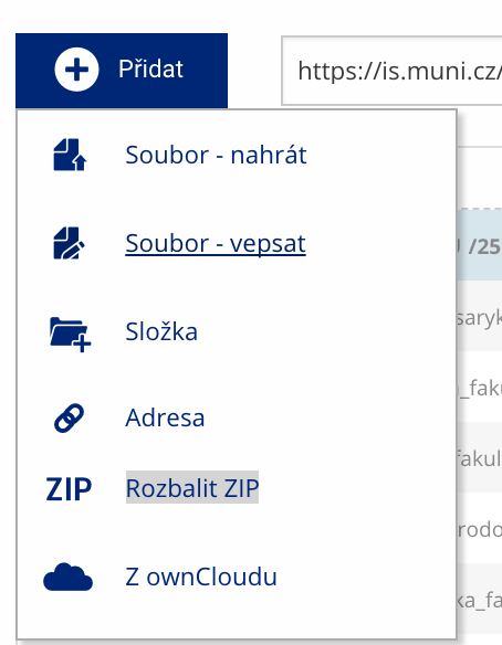 Soubor nebo složku lze nahrát pomocí tlačítka Přidat.
 -
Další operace se soubory
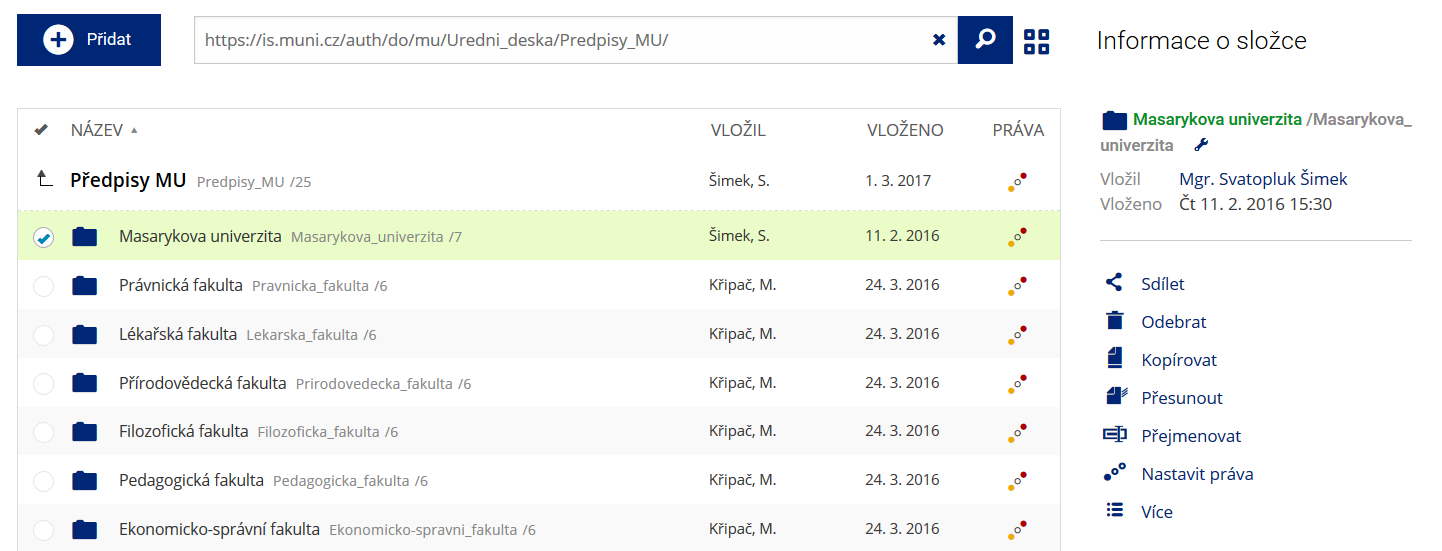 Podrobnosti lze zjistit označením příslušného řádku.
 -
Pohled pro experty
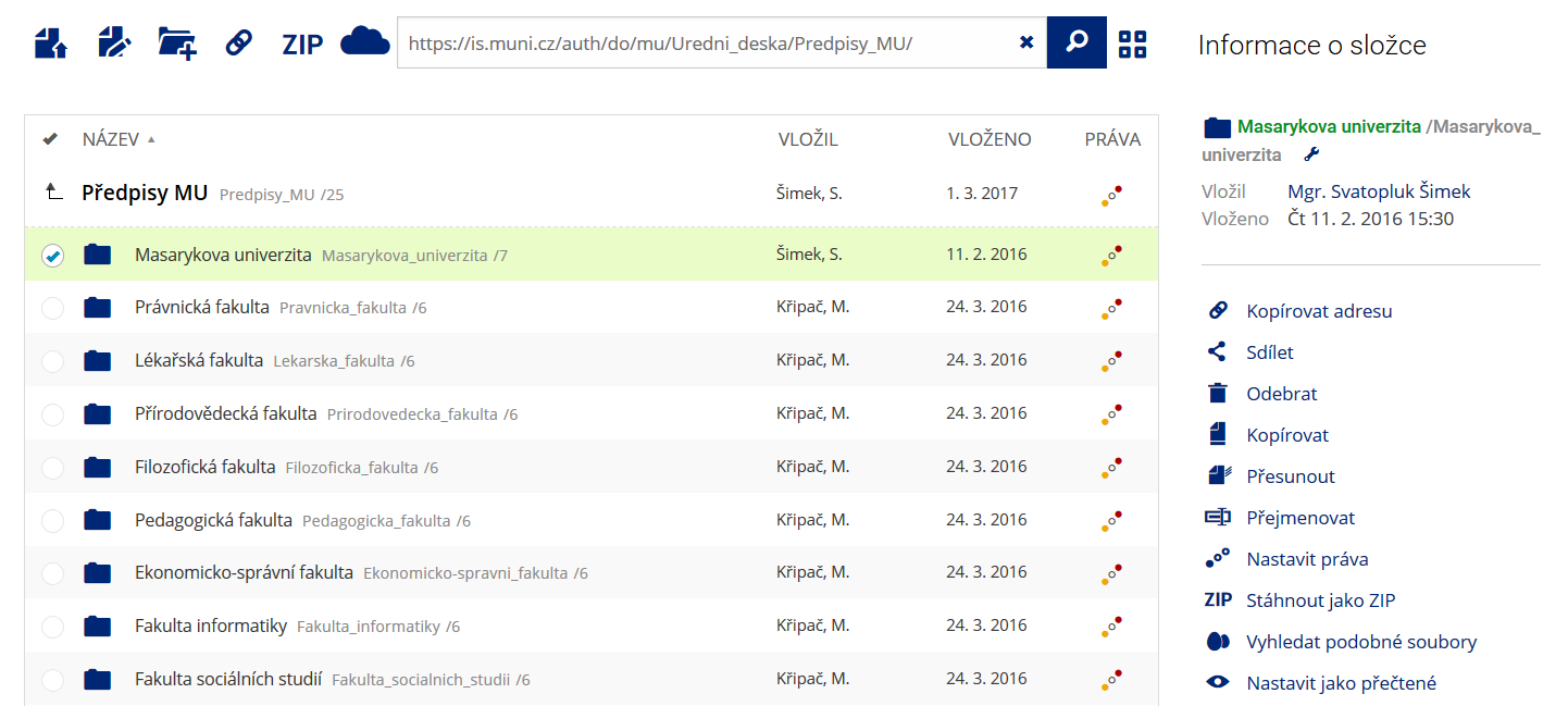 Pro častou práci je možné zvolit režim Více možností.
 -
Vyhledávání souborů
 Vyhledávaný výraz můžete zadat přímo do adresního řádku.
 -
Rychlý přístup k souborům
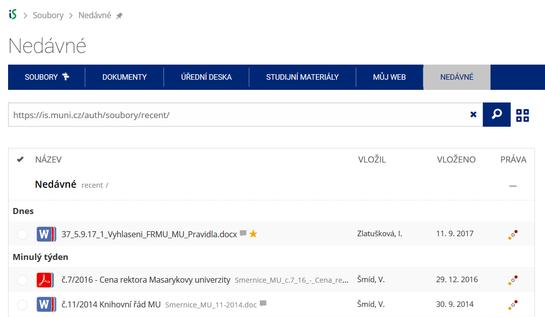 Pomocí funkce Nedávné je možné se rychle vrátit k právě prohlíženým souborům. Oblíbené soubory je také možné označit Hvězdičkou.